| |
|
|
| Oodnadatta Track and Lake Eyre |
|
Week 14 - September 27th 2010 |
| |
|
|
 |
|
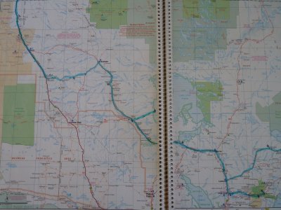
From Lyndhurst up the Oodnadatta Track to Oodnadatta then
West to Arckaranga (Painted Desert).
Hema 7 P72-73 |
| |
|
|
 |
|
Torn between heading South, deeper into the Flinders, or
North towards the Red Centre we headed North.
Filled up both fuel tanks at Lyndhurst. Checked that the bread we
bought a couple of weeks earlier in Broken Hill was still frozen and off
we set.
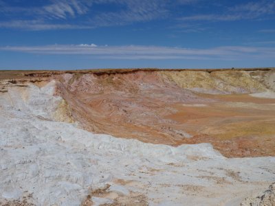
Stopped for a well earned rest after a couple of km. The ochre pits
just North of town. |
 |
|
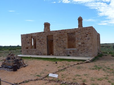
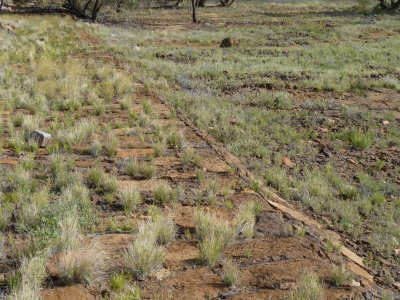
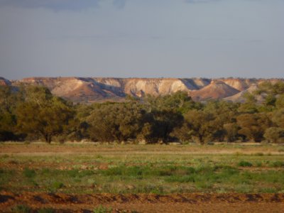
The Oodnadatta Track follows the old Ghan railway.
Farina was a reasonable sized railhead. This was the post office. |
| |
|
|
 |
|
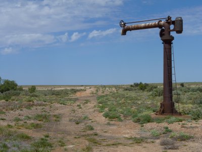
There was a water tank associated with this filler for the
trains. The platform is about centre in the distance.
Farina was soon overtaken by another railhead further North. |
| |
|
|
 |
|
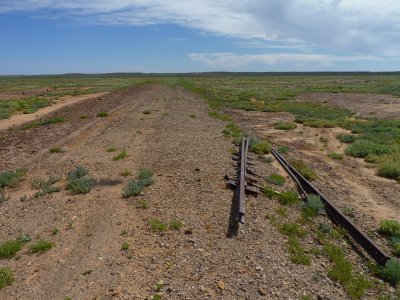
The rail line was moved a couple of hundred km West. All
that remains is the embankments and cuttings, heaps of bridges and
culverts, occasional sleepers, a few bits of rail, some fettlers
accommodations, and a few tanks.
These bits of 60lb rail were produced by Australian Iron & Steel at
Port Kembla in 1947. Replaced some of the original rail. Spotted a bit
used for fencing that was produced in 1880 in West Cumbria (England) at
what I think became Workington Iron and Steel - well known for producing
railway steel. |
| |
|
|
 |
|
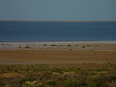
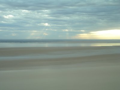
Lake Eyre South from the lookout.
A few metres higher than Lake Eyre but still below sea level. |
| |
|
|
 |
|
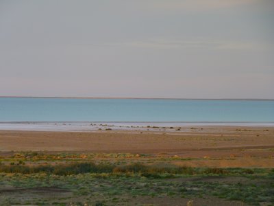
As the sun set the colours changed. |
| |
|
|
 |
|
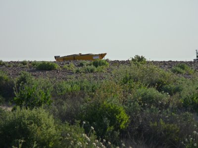
Couldn't resist.
The kayak is really on top of a trailer.
We met the people later as they were returning from Halligans Bay.
They'd planned to paddle the kayak on Lake Eyre but described it as
"a nice idea, but....". |
| |
|
|
 |
|
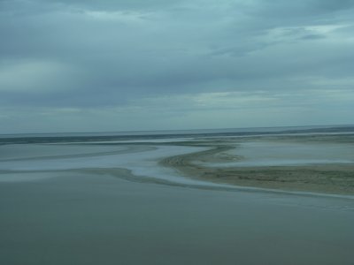
From William Creek we took a two hour flight over Lake
Eyre.
Late in the afternoon and a tad overcast. Fascinating. |
| |
|
|
 |
|
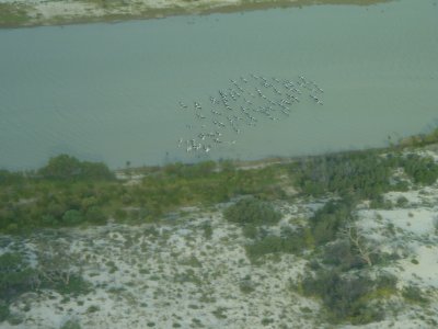
These pelicans took off as we approached. Somewhere on the
banks of Cooper Creek. |
| |
|
|
 |
|
Its unusual for Lake Eyre to have water in it. More unusual
to see Cooper Creek running. Even more unusual to see Warburton Creek
flowing as well. |
| |
|
|
 |
|
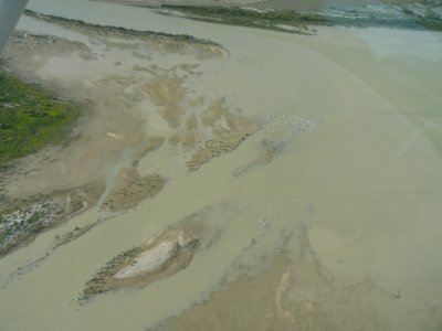
Not pelicans in the middle of the photos. Just like the
pelicans they took off as we approached. |
| |
|
|
 |
|
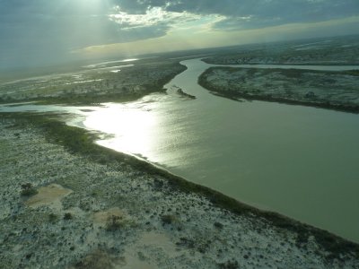
A brief glimpse of the sun through the clouds as we headed
home. |
| |
|
|
 |
|
We then repeated the experience by driving into Halligans
Bay.
Took us a while, and broke a fuel tank strap on the corrugations, but
well worthwhile.
This is the escarpment just before ABC Bay. |
| |
|
|
 |
|
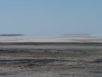
And the lake from ABC Bay.
So called (apparently) because an ABC film crew waited here for the
lake to fill, but picked the wrong spot. |
| |
|
|
 |
|
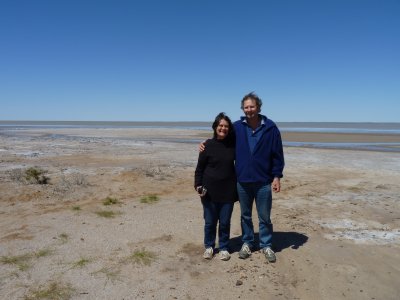
Halligans Bay. Bleak, salty, muddy, wet, and beautiful. |
| |
|
|
 |
|
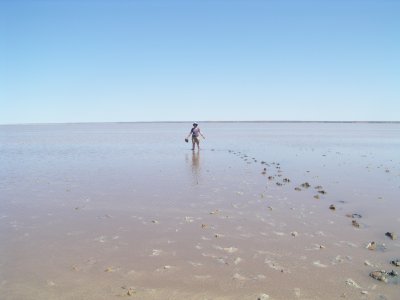
Yes. We did go for a paddle. But that was later.
The water was just a few cm deep. Not quite suitable for swimming. |
| |
|
|
 |
|
There was a layer of silt under the water. The wind on the
water formed it into small waves. Footsteps churned up the mud and the
slight wave action washed the silt off.
Beautiful colours. Easy to see how lots of the sedimentary rock in the
centre of Aus has been formed.
Geology in action! |
| |
|
|
 |
|
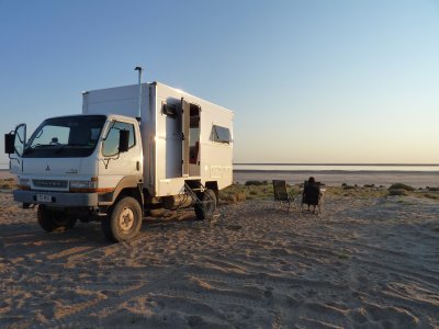
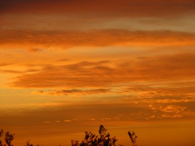
We could have watched the sunset forever. |
| |
|
|
 |
|
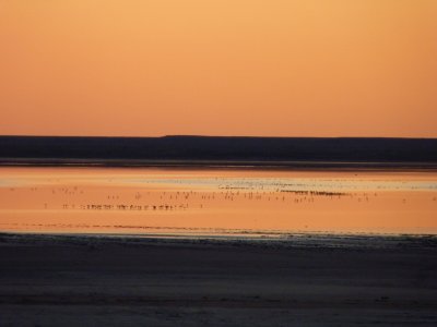
Looking towards ABC Bay the lake was full of birds.
We think mostly Stilts (looked through the binoculars) but could be
wrong.
They were gone in the morning. |
| |
|
|
 |
|
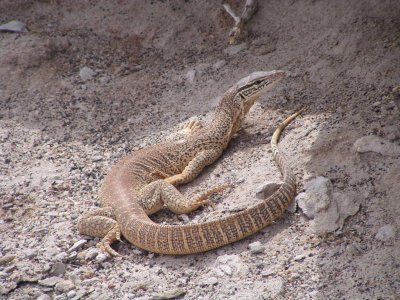
A Lake Eyre Dragon. |
| |
|
|
 |
|
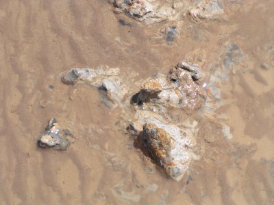
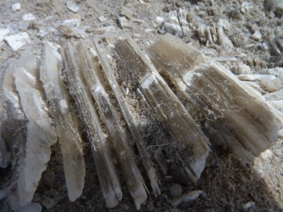
The salt crystals were fascinating.
It occured to us that the salt wasn't table salt. |
| |
|
|
 |
|
Everyone has to have a sunset photograph. This is one of
ours. |
| |
|
|
 |
|
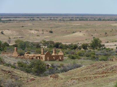
Took us more than an hour to drive the rough track into
Peake Crossing.
This is the overland telegraph repeater station.
Beyond it is a string of almost extinct mound springs. A natural source
of permanent water. |
| |
|
|
 |
|
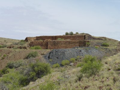
The Copper Top Smelter at Peake Crossing.
At the high point is a pile of untreated ore. The mine shafts are about
100m beyond.
The dark patch is the slag dump.
There were traces of charcoal but otherwise not sure what was used for
heat. |
| |
|
|
 |
|
At Peake River the railway embankment up to the bridge was
elaborately paved.
It looked to us a bit like a Roman road, without the chariot wheel
marks. |
| |
|
|
 |
|
Black-Tailed Native-Hen on the bank of Peake River. |
| |
|
|
 |
|
Large Egret, also at Peake River crossing. |
| |
|
|
 |
|
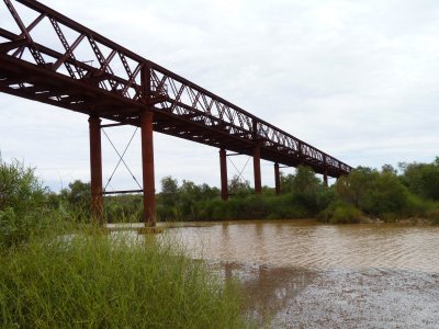
The Algebuckina Bridge.
About 450m. |
| |
|
|
 |
|
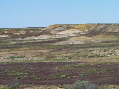
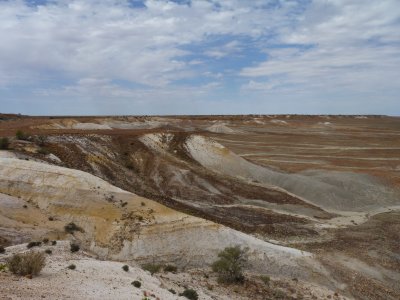
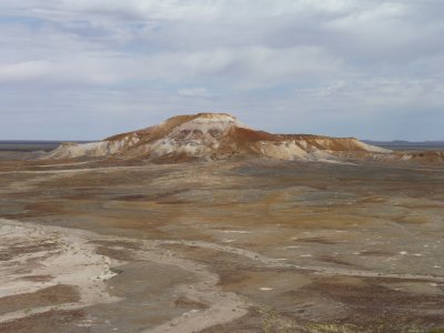
We had a brief stop in Oodnadatta then headed West.
Through the Painted Desert (Arckaranga Hills). |
| |
|
|
 |
|
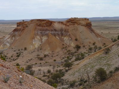
The lack of vegetation, the erosion and the colours were
fascinating. |
| |
|
|
 |
|
So fascinating here's another photo. |
| |
|
|
 |
|
And as the sun went down over our campsite.
Couldn't camp at the homestead (they had a 50th birthday party on) but
were allowed to camp by the creek. |
|
|
|
| Alice Springs and
West McDonnell National Park |
|
Week 15 - October 4th 2010 |